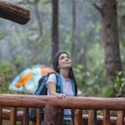
On the outskirts of Bogotá, a mysterious and silent landscape extends for thousands of square kilometers. Unique to high tropical mountains, páramos are virgin, tundra-like, high-altitude grasslands bursting with rare flora and fauna. Untouched by mass tourism, páramos remain an unexplored paradise. Colombia has 36 of them – the most in the world.
The following five páramos can easily be reached from the Colombian capital of Bogotá, so put on waterproof boots, grab a raincoat, and head for the city's surrounding hills. And take it easy, cowboy – this is low-oxygen, high-altitude terrain.

Chingaza: Bogotá’s water factory
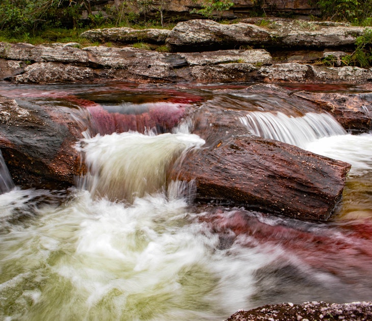
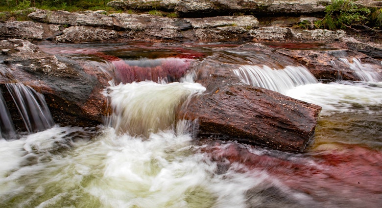
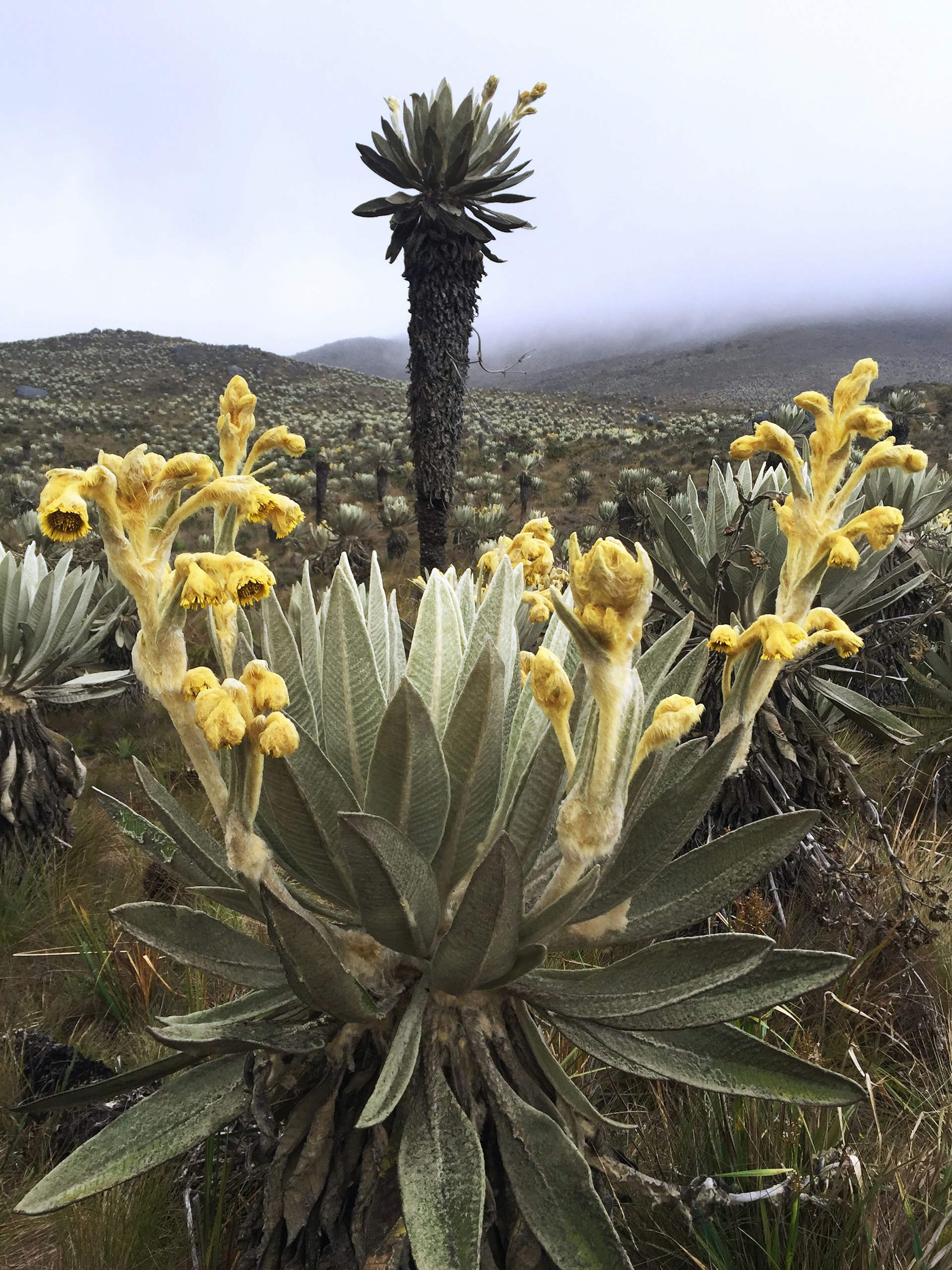
The hauntingly majestic Chingaza Natural Park is truly unspoiled and carpeted with frailejónes, a highly adapted plant that only grows in páramos. The plants capture moisture from passing clouds in their spongy trunks and release the water into the soil, creating mountain lakes and underground reservoirs which eventually become rivers. The wetlands of Chingaza provide over 80% of Bogotá’s water supply.
Chingaza has several trails which cut through its very soggy marshland. Forget sneakers and bring waterproof shoes, unless you enjoy squishy, cold feet. For a stunning bird's-eye view of the Siecha lagoons, the 7km trek to the Cuchillas de Siecha escarpment will, quite literally, take your breath away. With altitudes of 3300m and higher, hiking in Chingaza (and all páramos) needs to be approached with patience and caution.
Tip: The park is remote and heavily regulated, only allowing a limited amount of hikers per day. Check the Colombian National Parks website (parquesnacionales.gov.co) for more information or book a trip with a tour agency. Bogota&Beyond (bogotaandbeyond.com) and Awake Travel (awake.travel) both offer trips to Chingaza.
Sumapaz: the “utterly peaceful" moor
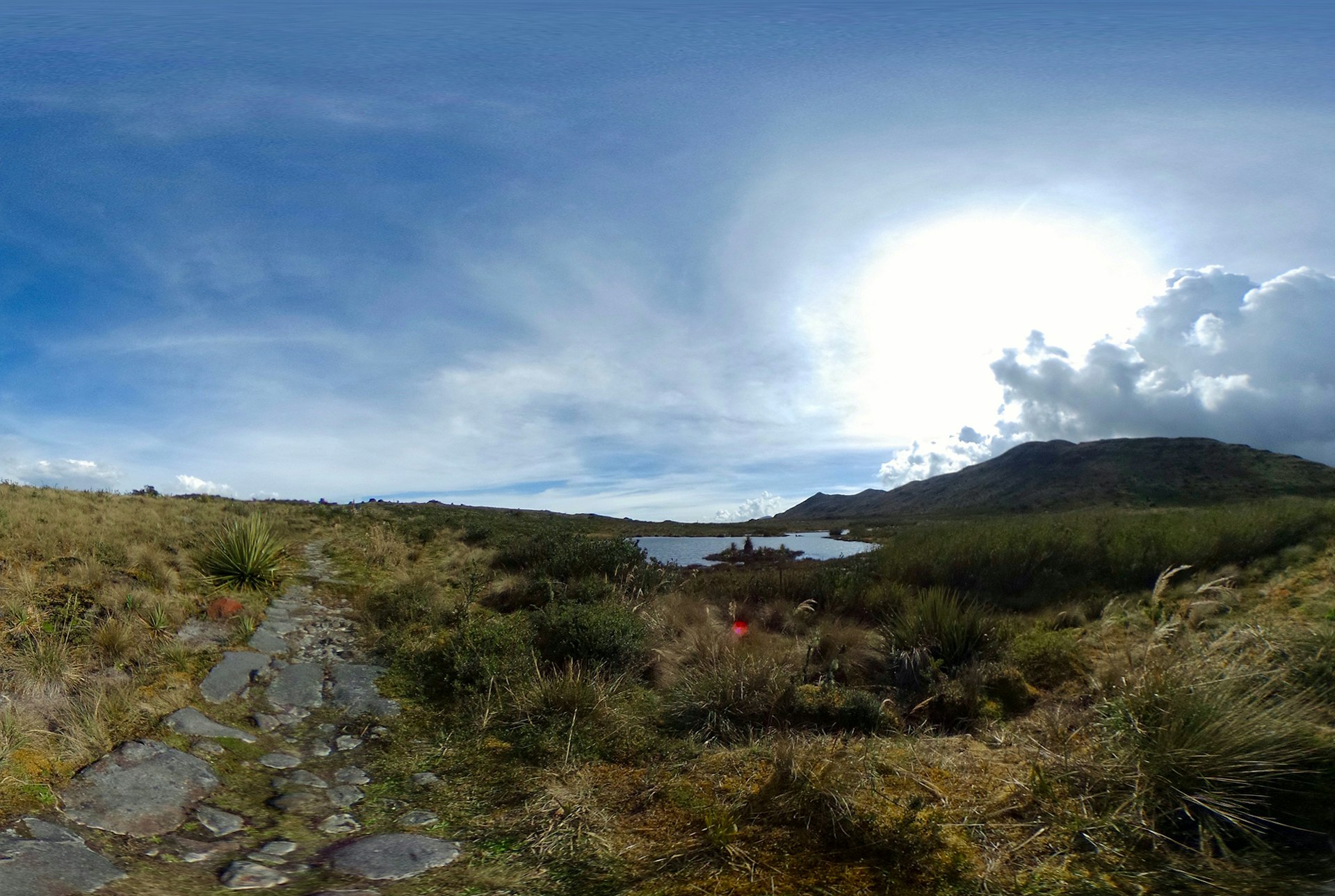
Try a walk through the remote and eerily quiet Sumapaz National Park (parquesnacionales.gov.co). Once sacred territory of the Muisca Indigenous tribe, the outlandish páramo – the largest in the world – extends for an astonishing 1420 sq km. It is home to a diverse number of species, including the endangered Andean spectacled bear and Andean condor.
The most accessible trail takes you past fields of furry frailejónes, reaching Cuchillas de Bocagrande, a long rock formation which interrupts the otherwise rolling wetlands. Depending on the weather conditions and your level of acclimatization, it is possible to climb up to a 4000m panoramic viewpoint. Sunscreen and rain protective gear are essential as the territory is marshland and the weather can change in an instant.
Tip: As it’s tricky to get here and quite easy to get lost in the mist, it is best to go with an organised tour. Bogotá travel agency Caminates del Retorno (caminantesdelretorno.com) offer guided group/private trips.
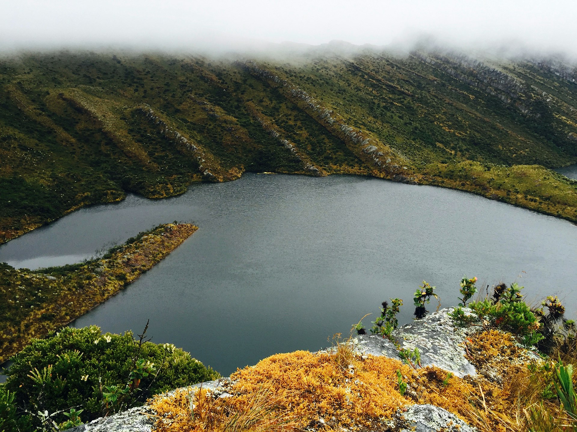
Laguna de Iguaque: cradle of humanity
The 4km trek to the misty Laguna de Iguaque, located at 3700m in the Santuario de Flora y Fauna Iguaque, is an energizing, uphill adventure. The trail traverses various ecosystems and micro-climates, finally summiting at a serene landscape that, according to Muisca folklore, was the origin of humanity and a sacred pilgrimage site. Traditionally, as Muiscas made the journey up, they would collect bad thoughts into an imaginary pouch and throw it into the lagoon to rid themselves of negative energy.
Don’t let the sparse vegetation fool you into thinking you’re alone; through the mist, you may observe birds, squirrels, wild rabbits, armadillos, foxes, deer, or even the rare spectacled bear.
Tip: Arrange to stay over at the base camp lodging the day before you hike to give yourself time to acclimatize.
Matarredonda Ecological Park: green paradise
The Matarredonda Ecological Park (choachi-cundinamarca.gov.co) is just 18km from Bogotá and forms part of the Cruz Verde páramo – a complex of over 14 páramos that extend for 3300 sq km. To get there, take a bus heading for Choachí from the South Transport Terminal. Tell the driver where you’re going and he’ll drop you off on the way. From the road, it’s a 20-minute walk to the entrance.
The two main trails – to the Cascada de la Abuela and the Laguna Verjón – are well-marked, flat, and both can be completed in under 4 hours. The trail to the lagoon follows the camino real, a paved path set down by the Muiscas. Remain in a deep lake-side slumber, or follow the trail for another 45 minutes to a summit called La Cuchilla. On clear days, Bogotá and Cerro de Monserrate shimmer in the distance, framed by green mountains as far as the eye can see.
Tip: There are other routes, but it’s advisable to go with a guide because the weather is very unpredictable and it’s easy to get lost. Camping is possible.
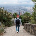
Páramo Las Moyas: easy city escape
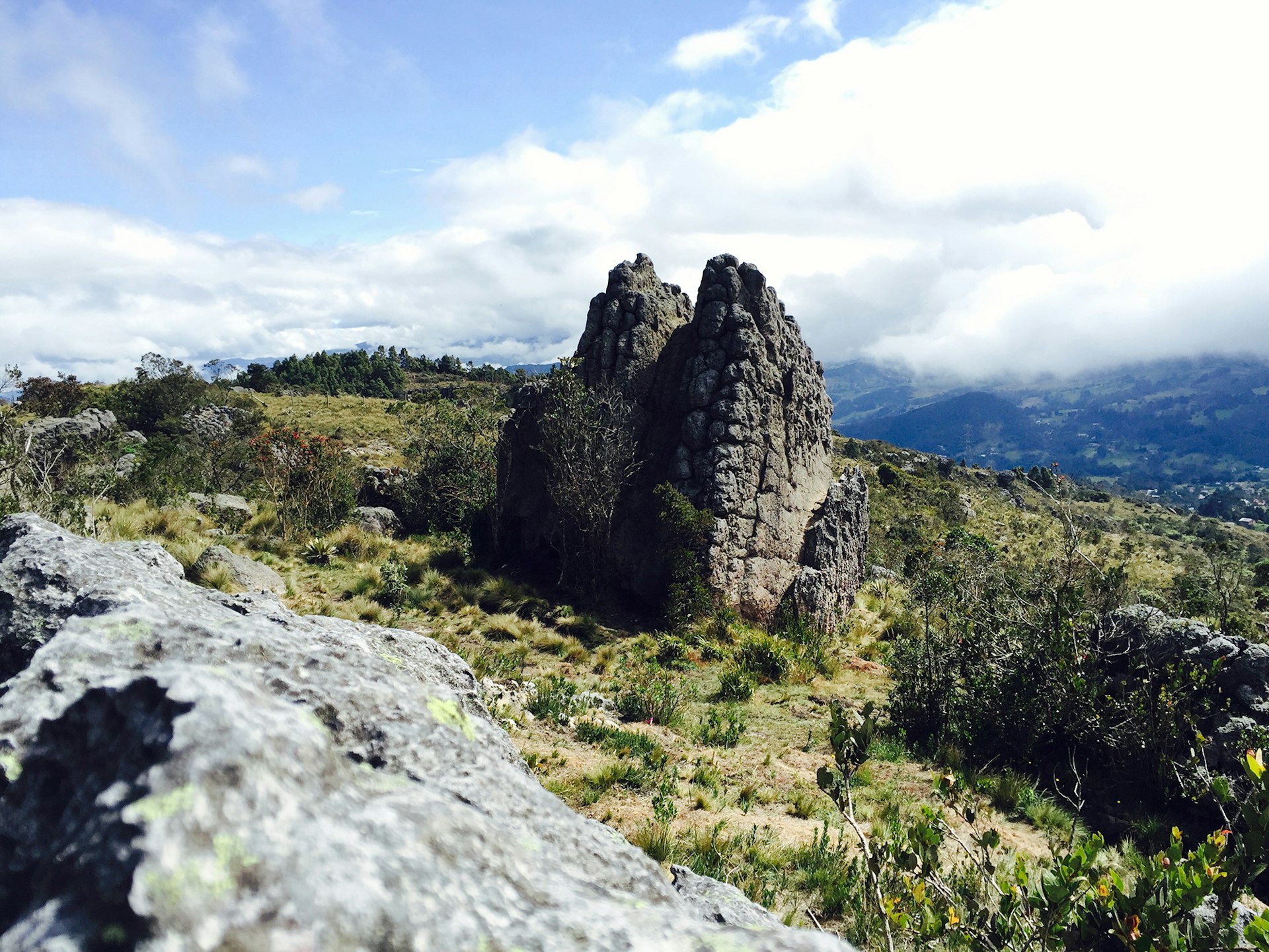
In the eastern hills of Bogotá, the closest páramo creeps over the edge of the city from 3200m above. Dominated by huge boulders that were once a Muisca astronomical center, the captivating scenery of Las Moyas exemplifies everything appealing about Colombia’s capital. One minute you’re drinking the latest coffee cocktail amidst raucous, congested streets and the next minute (OK, 30 minutes later), you are in pura naturaleza. The 3-to-4 hour trek begins on the upper slopes of Rosales, at Calle 78 with Transveral 2a. The trail meanders through rich Andean forest eventually opening up to a shrubby landscape with spectacular views of the city below.
Tip: For safety, it is better to go in a group or with a guide. On Saturdays, Sundays, and public holidays there is police patrol from 5am to 10am. Bring a loaded TransMilenio card to take a bus back down from San Luis neighborhood.
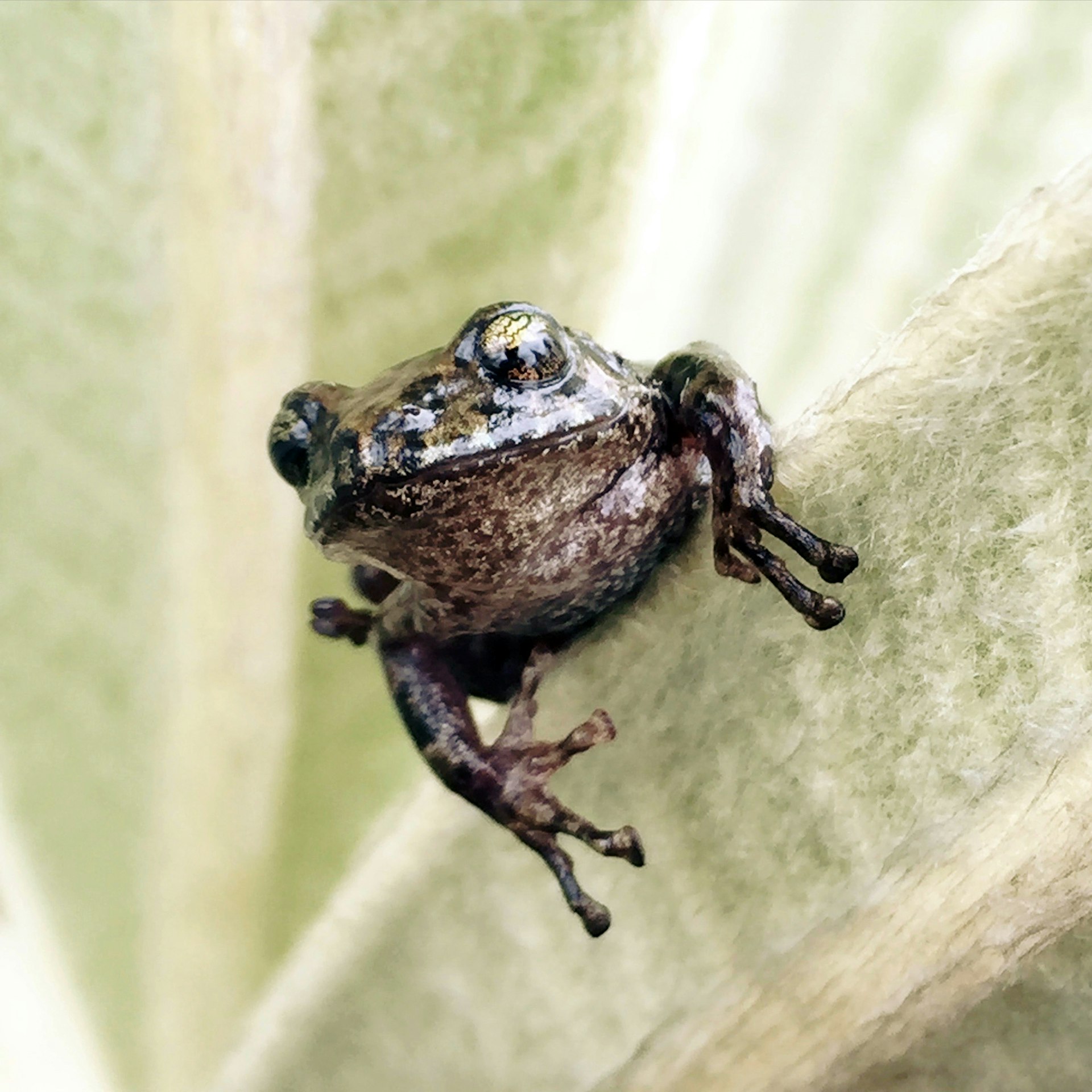
Some images in this article came from Selva (selva.la) , a Colombian-made photo-sharing app designed to help hikers document and learn about wildlife.