
Advertisement
Alaska
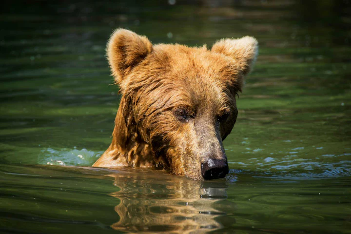
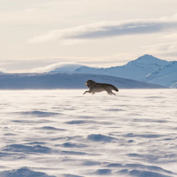
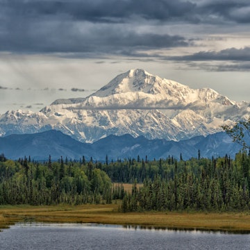
Bears larger than bison, national parks the size of nations, and glaciers bigger than other US states. The word "epic" barely does Alaska justice.

Mihael Blikshteyn / Stocksy United
Latest Stories
- Brendan Sainsbury|Apr 24, 2026How to get the most out of pricey Alaska on a budget
- Erin Kirkland|Apr 23, 2026Which is the best Alaskan cruise line for you?
- Phil Norris|Apr 21, 2026The best things to do in Alaska with kids
- Erin Kirkland|Apr 21, 2026How to navigate the Alaska Marine Highway ferry system
Book
Trip 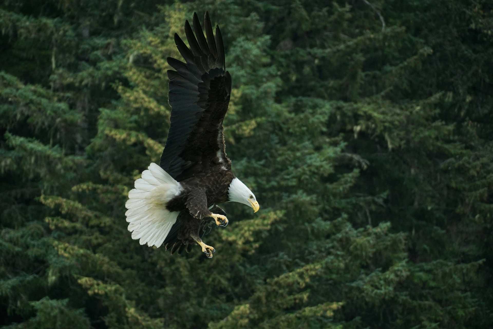

Trusted Partner
Dreaming of Alaska? Protect your trip
Travel with confidence. Protect your trip and your wallet.
We don’t represent World Nomads, we receive a fee from quotes using this link. This is not a recommendation to buy travel insurance.
Take your United States (USA) trip with Lonely Planet Journeys
Pick one of our ready-to-book trips or fully customize your own with help from our local experts.
bookable trip
Alaska Unplugged: 10 Family-Friendly Days in The Last Frontier
10 days / 9 nights
highlights
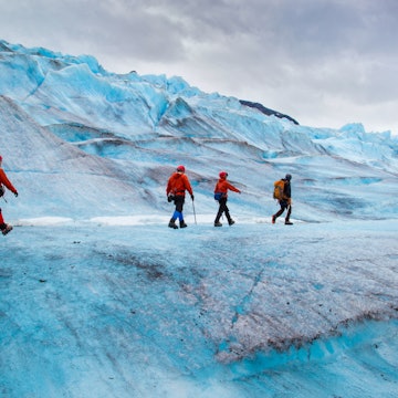
- 1 Landing on a Denali National Park glacier during a thrilling "flightseeing" journey
- 2 Kayaking alongside whales, seals, and sea lions in Kenai Fjords National Park
- 3 Tasting birch syrup and birch ice cream on a Talkeetna factory tour
from $5,760
per person


Explore more trips
Explore more trips
-
 The USA
10 days / 9 nights
Alaska: Glimmering Glaciers, Brown Bears, and Fantastic Fjords
See Trip DetailsFROM $7,900
per person
The USA
10 days / 9 nights
Alaska: Glimmering Glaciers, Brown Bears, and Fantastic Fjords
FROM $7,900
per person
Top places to visit in Alaska
Discover the best attractions in Alaska from must-see sights to unexpected hidden gems.
-
 Attraction in AlaskaGates of the Arctic National Park & Preserve
 -
-
 Attraction in JuneauMendenhall Glacier
 -
 Attraction in AlaskaArctic National Wildlife Refuge
 -
 Attraction in AlaskaAtigun Pass
 -
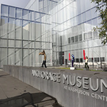 Attraction in AnchorageAnchorage Museum
 -
 Attraction in AnchorageOscar Anderson House
 -
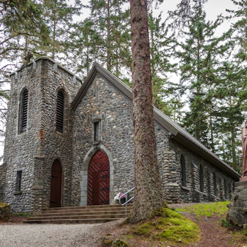 Attraction in JuneauShrine of St Thérèse

Advertisement
Travel Guides
Alaska travel tips from Lonely Planet experts
Find practical guidance from our team of contributors around the world who bring their decades of first-hand travel experience to your next trip.
Best Things to Do
Experience the best of Alaska with this guide to the top things to do in the Last Frontier.
Read full article
Best Road Trips
In a land of epic wilderness, rugged landscapes and a Serengeti’s worth of big fauna, Alaska’s highways offer unlimited possibilities for road trips.
Read full article
Money and Costs
Alaska is not an inexpensive place to discover. Here are 14 ways to make your dollar go further in the Last Frontier.
Read full article
Traveling with Kids
Alaska is brimming with family-friendly adventures from its iconic wildlife, national parks and glacier-filled hikes to gold-mining, ATVing and ziplining.
Read full article
Advertisement
in partnership with getyourguide
Book popular activities in Alaska
Alaska and beyond
-
 destinationDenali National Park & Preserve
 -
 destinationAnchorage
 -
 destinationSeward
 -
 destinationJuneau
 -
 destinationKetchikan
 -
 destinationFairbanks
 -
 destinationAleutian Islands
Advertisement