Veraguas Province
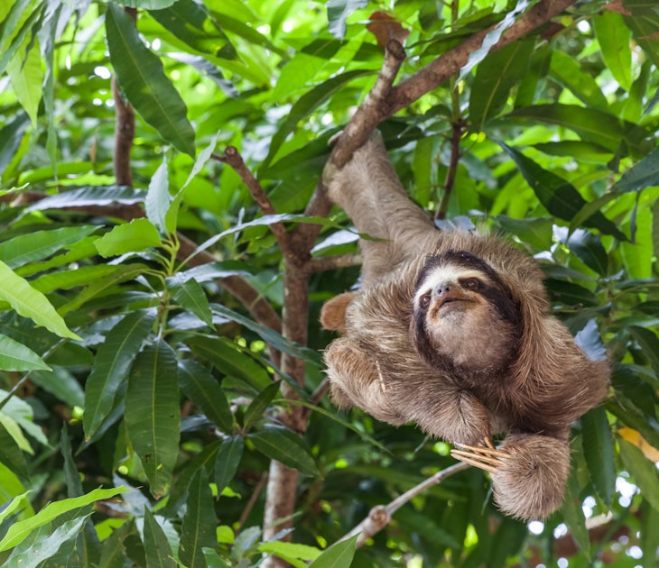
This national marine park contains Panama's largest island, the 503-sq-km Isla de Coiba, as well as astounding biodiversity; more than two dozen species…
©Kristina Vackova/Shutterstock
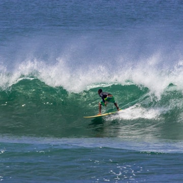
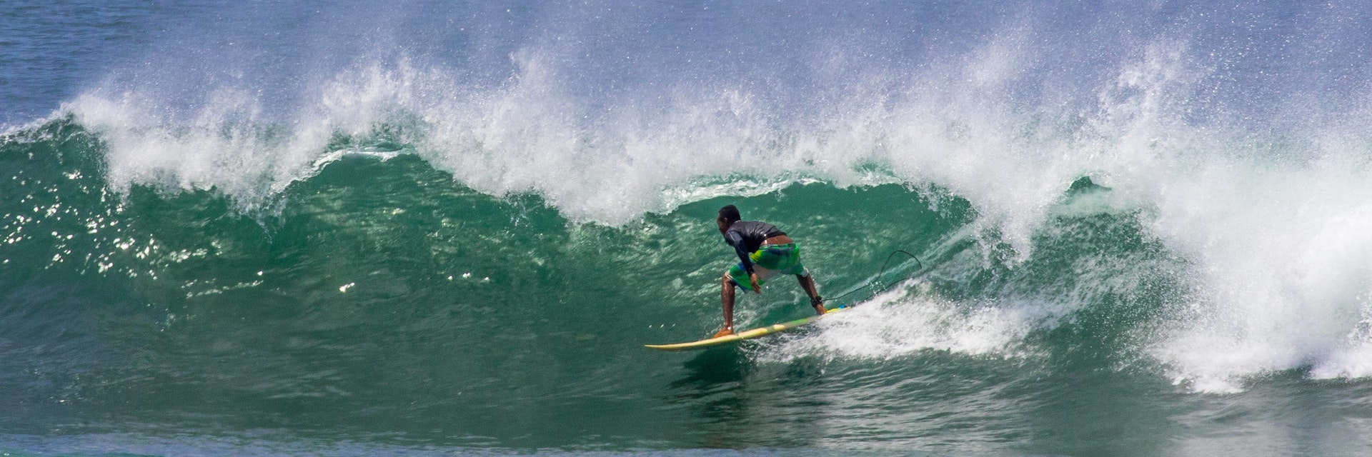
The name of Veraguas province (literally “see waters”) is both descriptive and accurate – it is the only one of Panama's provinces and comarcas (indigenous districts) to border both the Pacific Ocean and the Caribbean Sea.
Experience the real Veraguas Province. Let a local expert handle the planning for you.
Get startedVeraguas Province
This national marine park contains Panama's largest island, the 503-sq-km Isla de Coiba, as well as astounding biodiversity; more than two dozen species…

Veraguas Province
With excellent open views of the valley, Cerro Tute is home to the area’s famed bird life and features a cliff blasted with up-currents that seem to…
Iglesia de San Francisco de la Montaña
Veraguas Province
This simple stone church, built in 1727, contains nine elaborately carved altarpieces, including the ornate main altar of ash and cedar. Although most…
Veraguas Province
An excellent half-day road and trail walk (five hours round trip) leads to this tall waterfall with a delightful swimming hole in the dry season. Follow…
Veraguas Province
There’s a lovely swimming hole on this river about a 20-minute walk from town. Head northeast along the road past the Coffee Mountain Inn on the way to El…
Veraguas Province
This vast, mountainous park covers 726 sq km of pristine wilderness, extending from the northern edge of Santa Fé to the Cordillera Central, and includes…
Veraguas Province
There are three waterfalls in Alto de Piedra northwest of town. Though you can visit on your own, access can be difficult and affected by recent weather…
Veraguas Province
This wonderful 45m-high waterfall located in the town of Las Palmas has a natural pool with refreshing water at its base. The area is surrounded by light…

Filter by interest:

Get to the heart of Veraguas Province with one of our in-depth, award-winning guidebooks, covering maps, itineraries, and expert guidance.